Create a Political Map: Best Tools for Researchers
Creating a political map is essential for researchers who analyze geographic and demographic data. Whether studying election trends, border changes, or population distributions, a well-structured custom map helps visualize complex political information. Digital mapping tools streamline this process, making it easier to compile, edit, and share data efficiently.
One such tool that simplifies map creation is Mapme, which provides an intuitive drag-and-drop interface, media integration, and customizable styles. By leveraging these features, researchers can create interactive and engaging political maps without requiring advanced technical skills.
What Is a Political Map?
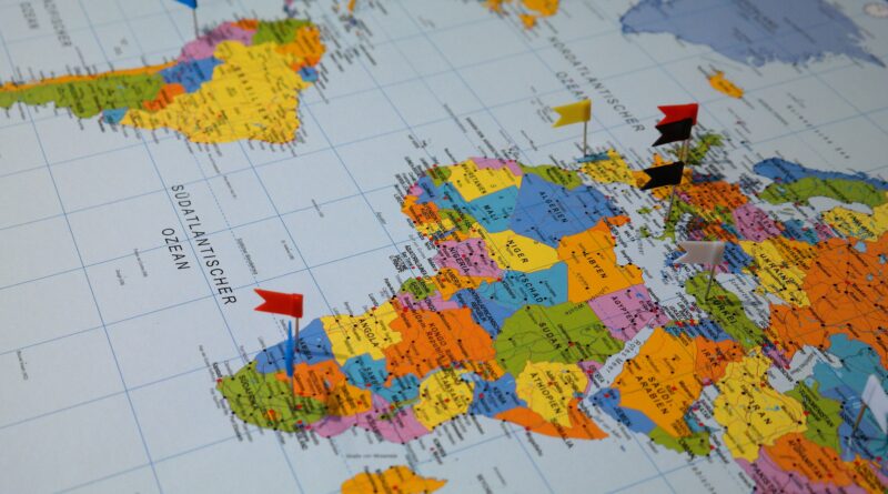
A political map represents territorial boundaries, administrative divisions, and governmental jurisdictions. Unlike physical maps, which highlight landscapes and natural features, political maps focus on cities, states, and countries, making them ideal for visualizing political and social research.
To create map for political analysis, researchers often incorporate layers of data, such as:
- Election results by region
- Population demographics
- Historical boundary changes
- Government policies and jurisdictional zones
Benefits of Using Digital Mapping Tools
Traditional paper maps have limitations when it comes to flexibility and data integration. Digital mapping platforms allow users to create, modify, and share maps seamlessly. Here are some benefits of using online tools to create a map:
- Customization: Add labels, markers, and color-coded regions for better visualization.
- Data Integration: Import datasets from spreadsheets to enhance analysis.
- Collaboration: Share maps with teams for collective research.
- Interactive Features: Embed multimedia elements to provide contextual information.
How to Create a Custom Map for Political Research
To develop an effective custom map, follow these steps:
Step 1: Define Your Objective
Clarify what you aim to achieve with the political map. Are you analyzing voter demographics, historical changes, or international relations? Understanding the purpose will guide the data selection process.
Step 2: Collect and Organize Data
Gather relevant political and geographical data. Use sources like government databases, historical records, and electoral statistics. Ensure that your data is structured for easy integration into a mapping tool.
Step 3: Choose a Mapping Tool
Select a platform that aligns with your needs. Mapme is a great option for researchers looking for an easy-to-use, interactive solution. With features like category filtering, media embedding, and CSV import, it allows users to create a visually appealing custom map without coding.
Step 4: Customize Your Map
Enhance the map with layers, markers, and visual elements. For example:
- Use different colors to represent political affiliations.
- Add interactive tooltips for additional information.
- Embed images and videos for historical context.
Step 5: Share and Analyze
Once your custom map is complete, share it via web embedding or social media. Many tools, including Mapme, offer collaboration options, enabling teams to refine data and update information dynamically.
Conclusion
A well-crafted political map provides valuable insights for researchers studying governmental structures, elections, and social movements. Using a digital platform like Mapme, you can easily create a map with custom features tailored to your study. By leveraging data visualization, you can communicate complex political trends effectively and make informed decisions based on geographic analysis.


